Why Choose Us?
SKYLABS geographic information system (GIS) solution is a framework for gathering, managing, and analyzing data. Rooted in the science of geography.
Exciting GIS Solutions
GIS Application includes Remote Sensing, Land survey solution, Land management & information solution, Planning Tool & many more..
Leader in GIS Solution
Our team has over 12 years of experience with design, manufacturing, marketing and sales of GIS Solution worldwide.

Remote Sensing
We offers remote sensing services to our clients worldwide. The services ensure accurate and cost-effective data collection which is important input for planning and designing of mapping projects.
Know More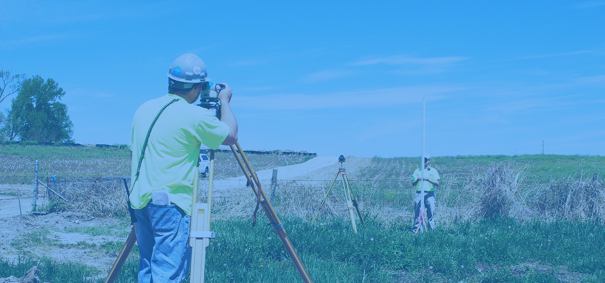
Survey
Survey has played an important role in collecting data from areas that don’t have updated maps. Survey maps also play a crucial role in ground truthing the concerned area for creation of accurate land information maps.
Know More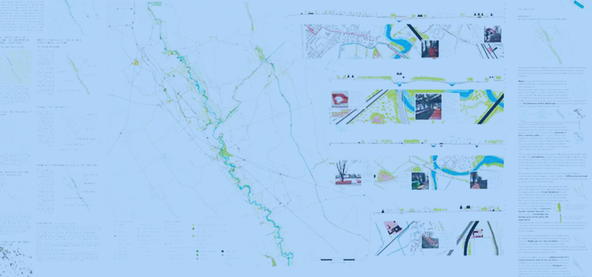
Planning Tool
Basic plus advance design and editing work using GIS tools. The use of 2D and 3D for presentation of plan base and results in an easily understandable manner in use of GIS planning.
Know More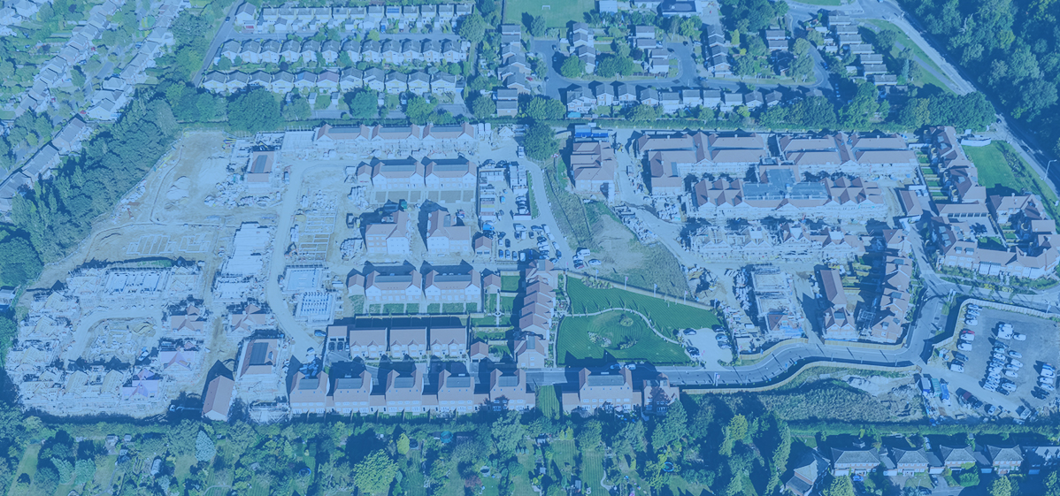
LMIS
We develop custom agricultural land management software with industry experts, support system applications to enhance rate seeding and yield applications, agronomists, service providers, GIS specialists, and others to access.
Know MoreDiscover SKYLABS Solutions. It's easier than you think.
Start right now.